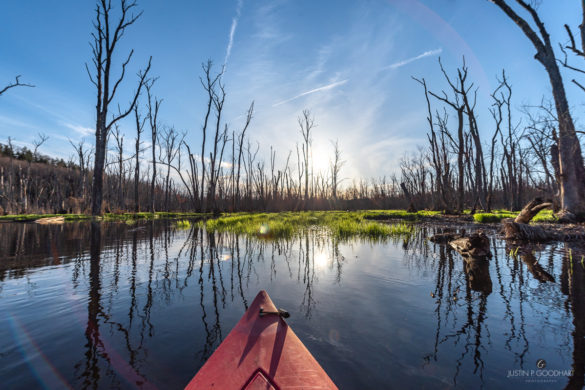
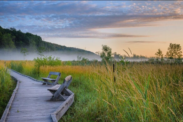
Paddling on the Great Swamp is one of life’s special pleasures. Whether you enjoy peaceful fall paddling with a waterside foliage view, or you crave winter solitude as you paddle beneath snow-covered trees, the Great Swamp has something for you.
Paddlers often see painted turtles, herons, red-wing blackbirds, kingfishers, dragonflies, and an occasional beaver, otter, or muskrat. Many other animal sightings have been reported depending on the time of day and the time of year.
For paddlers, spring and early summer are usually the best bet because that is when the water is fairly high. There is no need for bug spray on the water, but you may need protection from sunburn. A long-sleeved shirt or rash guard is recommended. In the event you have to carry your boat past a downed tree or a beaver dam, you may be glad to have protection from poison ivy.
It’s important to know that the water of the Great Swamp flows in two directions from its high point in Pawling and the two very different paddles are commonly referred to as the “North Flow” and the “South Flow”.
The Swamp River flows north, then east, to drain through Connecticut while the East Branch Croton River moves south toward a series of reservoirs, eventually reaching the Hudson. In New York state, much of the North Flow is inaccessible for paddling.
Much of the access to the Swamp lies on private property, but there are plenty of places to put in. From north to south, here are the ones open to the public for a Great Swamp paddling experience:
1) Wheeler Road, Wingdale
Head north on Route 22. At the Wingdale train station, turn left on Wheeler Road. Look for a sign on the right just past the railroad tracks. This launch site is only good when there is high water, and it’s better to head south — upstream — first.
2) Patterson Environmental Park, Patterson
Drive into Patterson on Route 311. Turn south onto Front Street and follow it to the Patterson Recreation Center. The half-mile dirt access road to Patterson Environmental Park will be on the left. Use extreme caution; the dirt road crosses ungated, unsignaled, active railroad tracks. Follow the access road to the end. The Town requires a permit for large groups launching from this site, but you are fine if there a just a couple of you. From here, paddle south — downstream. Remember that you will have to paddle back upstream, so leave yourself enough time and energy!
3) Route 22 Bridge, Patterson
About 1/2 mile north of the intersection of Route 22 and Route 164. Pull-off is on the west side of the road. Follow the rough-hewn trail down to the water at the north end of the pull-off. Do not drive down what looks like an access road; that is private property. From launch, you can paddle in either direction. GPS 41.479042, -73.579082
4) Gage Road, Brewster
From Route 22, turn east onto Doansburg Road. Turn onto Gage Road just before the Green Chimneys campus. Follow Gage Road to the first right, and follow that about half a mile to the end, where there is a cul-de-sac and a picnic table.
5) Green Chimneys Beach, Brewster
From Route 22, turn east onto Doansburg Road. The parking area is directly across from the Green Chimneys campus, and is only available to the public Monday through Friday after 5:00 p.m. and on weekends. Other times it is strictly off limits, as school is in session. From this launch site, paddle north — upstream. You can also paddle some distance south, depending on the water level.
Friends of the Great Swamp (FrOGS) requests that paddlers clean their boats before putting them in the water so that contaminants from other water bodies are not introduced into our ecosystem. Some people find the Great Swamp easiest to navigate with kayaks, but many enjoy paddling in canoes. FrOGS sponsors naturalist-led canoe trips every year for people who don’t have a boat or would prefer a short, educational adventure.


